
map commissions
No two properties are the same — the same goes for a hand painted map. With just over a year of mapping under my belt, I’ve fine-tuned a system that ensures each piece is thoughtfully composed to celebrate the land while remaining personal to the client. Here’s how that process unfolds.
-
Once you’ve submitted your Commission Enquiry, the first step is confirming your base (reference) map.
This helps me understand the layout of your property and is essential before I can accept a commission.
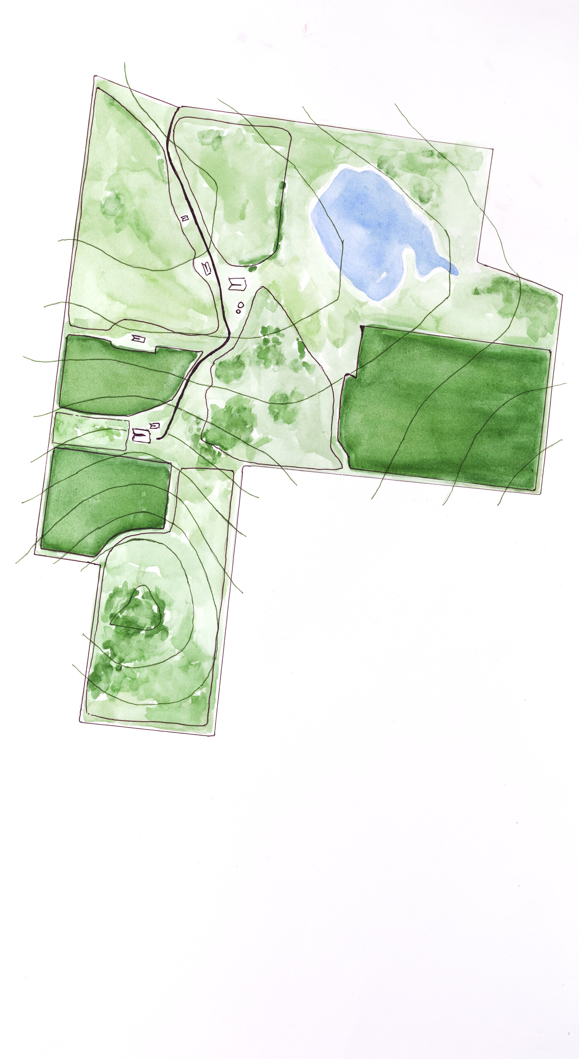
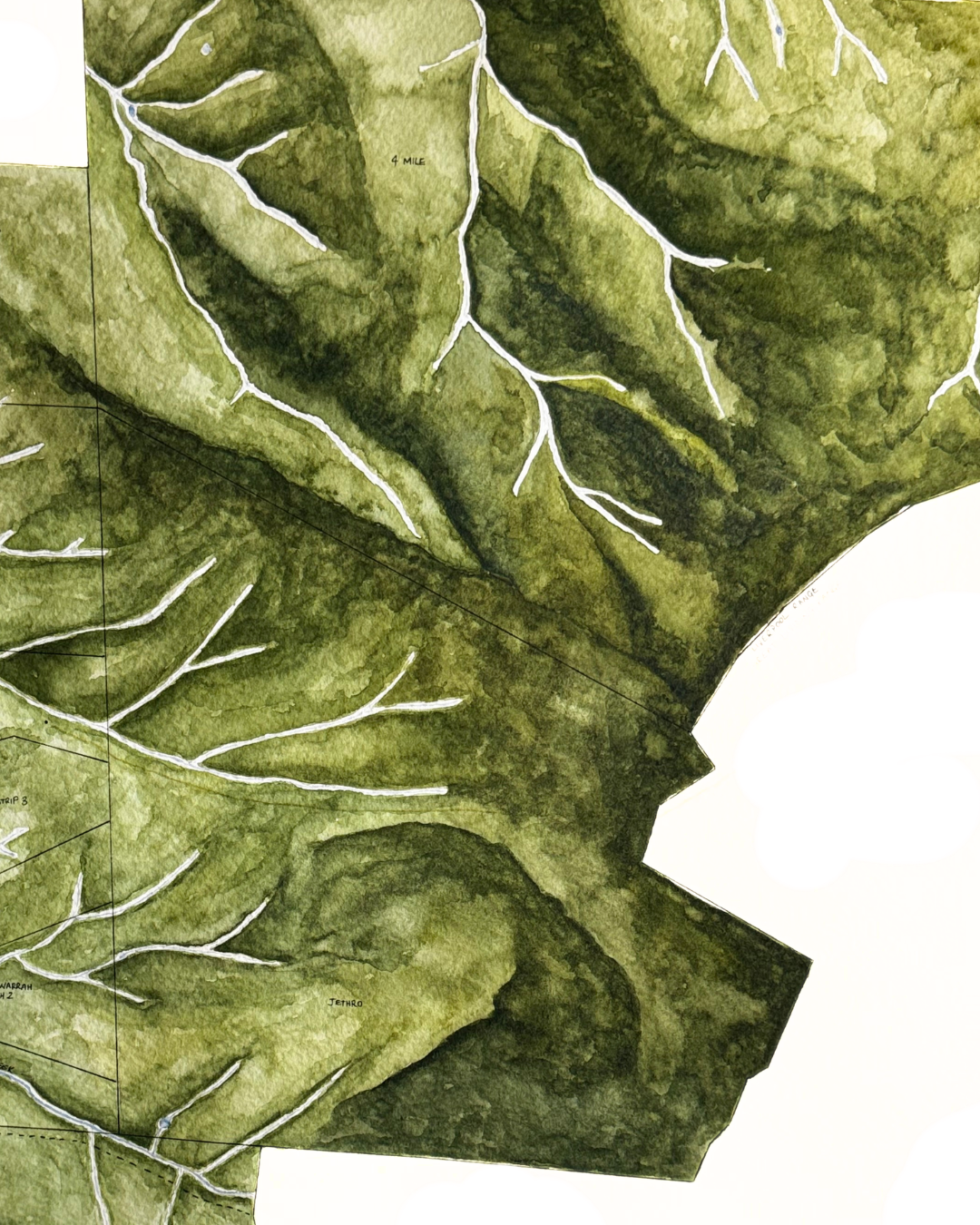
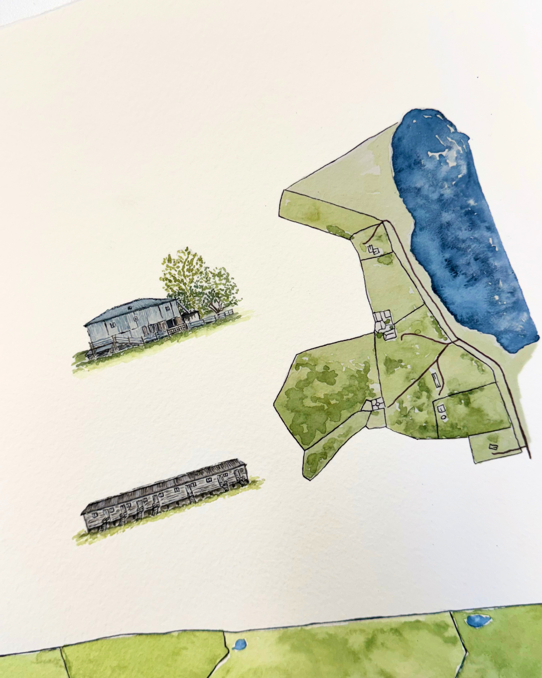
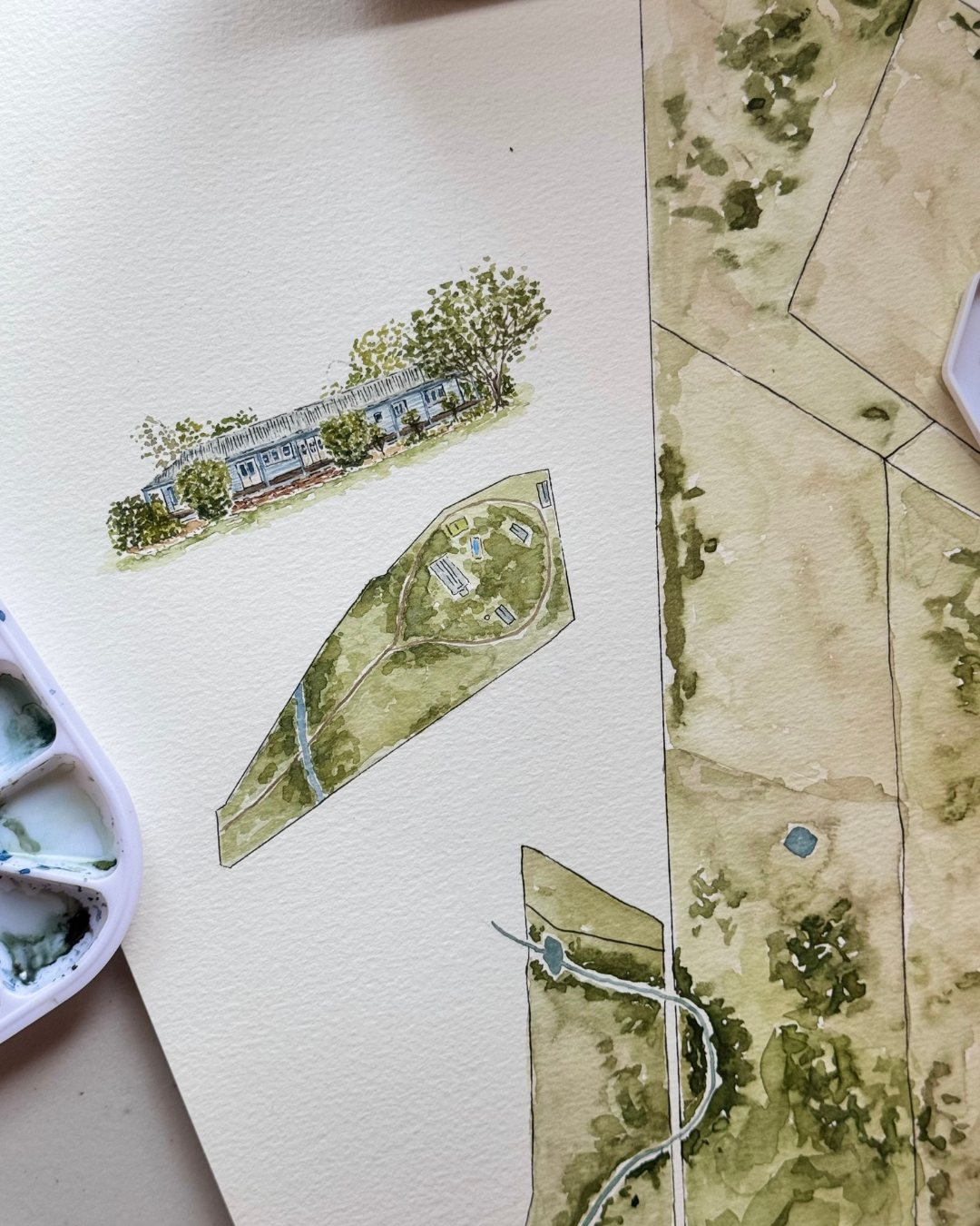
Your reference map simply shows the features you’d like included in your illustrated map — such as boundaries, fence lines, paddock names, roads, water points, infrastructure, the home, and other important details.
For more information, you can visit the FAQs Page.
-
Once you’ve submitted your enquiry, I’ll review your brief and be in touch with an estimated quote and delivery timeframe.
Delivery timing depends on my current commission waitlist, as well as your availability to provide a reference map.
To secure your spot in the commission queue, a deposit is required, usually invoiced once we’ve approved your reference map.
-
Once we’ve laid the foundations of your base map, we can begin to lay out the style and composition.
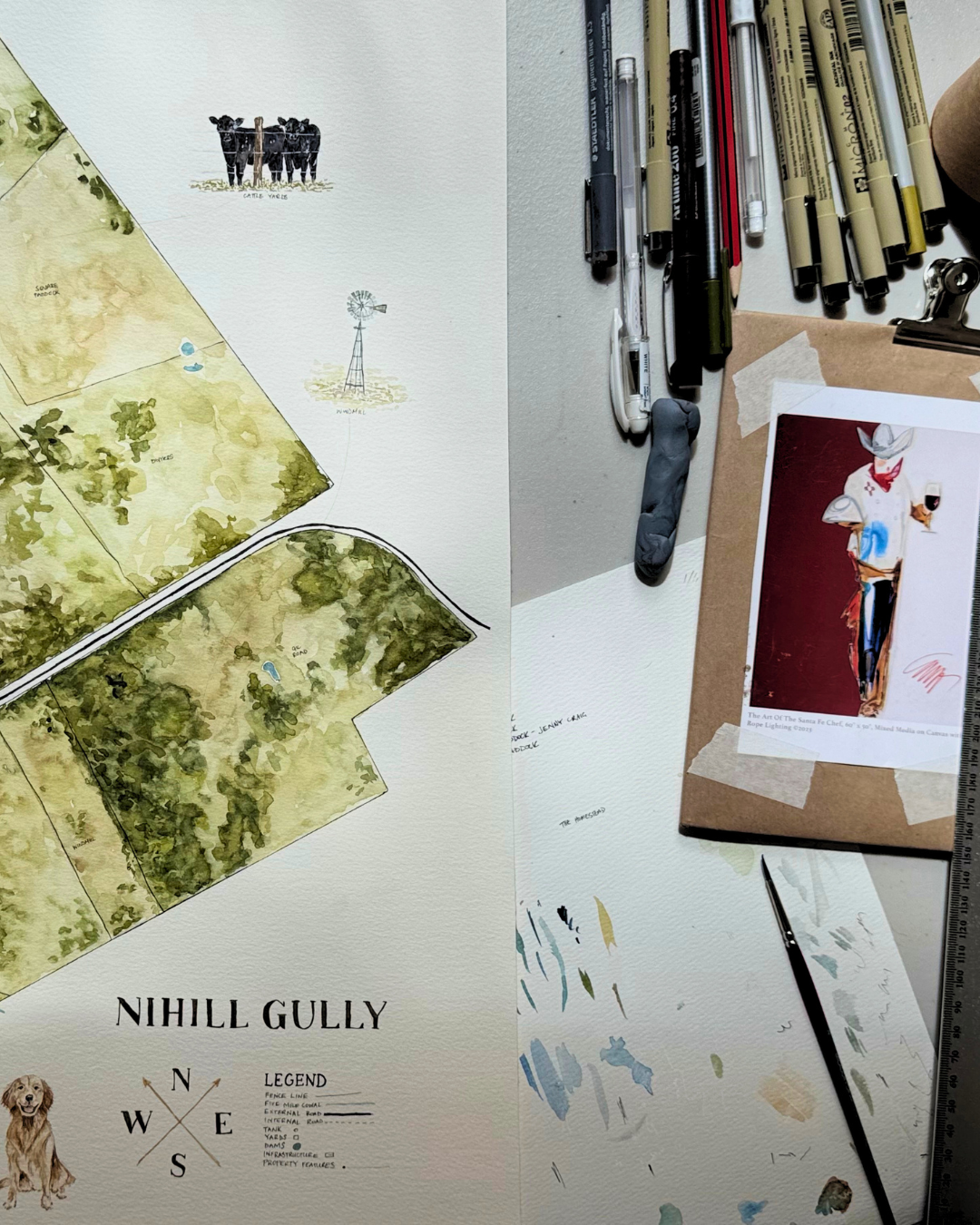
We workshop ideas for illustrated annotations, gather reference images and confirm their locations, along with your map’s title, brands, and logos.
Having these details defined and refined before we start painting ensures everything comes together beautifully.

frequently asked questions
faq
-
In order to get the ball rolling, visit the enquiries page and fill out the commission enquiry form.
-
Every property and map differs in complexity, personalisation, size, and detail, and so does the relative commission fee. Once the client has provided a detailed brief (via the enquiry form), I will provide a quote as a guide. Typically, the final invoice reflects the initial quote.
Please note, as the project evolves, the client’s requirements and preferences may also change, and the price may adjust accordingly. Factors that may cause the fee to fluctuate are itemised and detailed in the initial quote. I always flag and request approval if a change or addition to the brief will affect the final invoice.
-
Turnaround time depends on the time of year and my current commission backlog. Typically, I am booked out three months in advance.
Turnaround time also depends on the client’s ability to provide a detailed brief and an accurate reference map in a timely manner. Generally, I require this information 2–3 months prior to the client’s deadline.
-
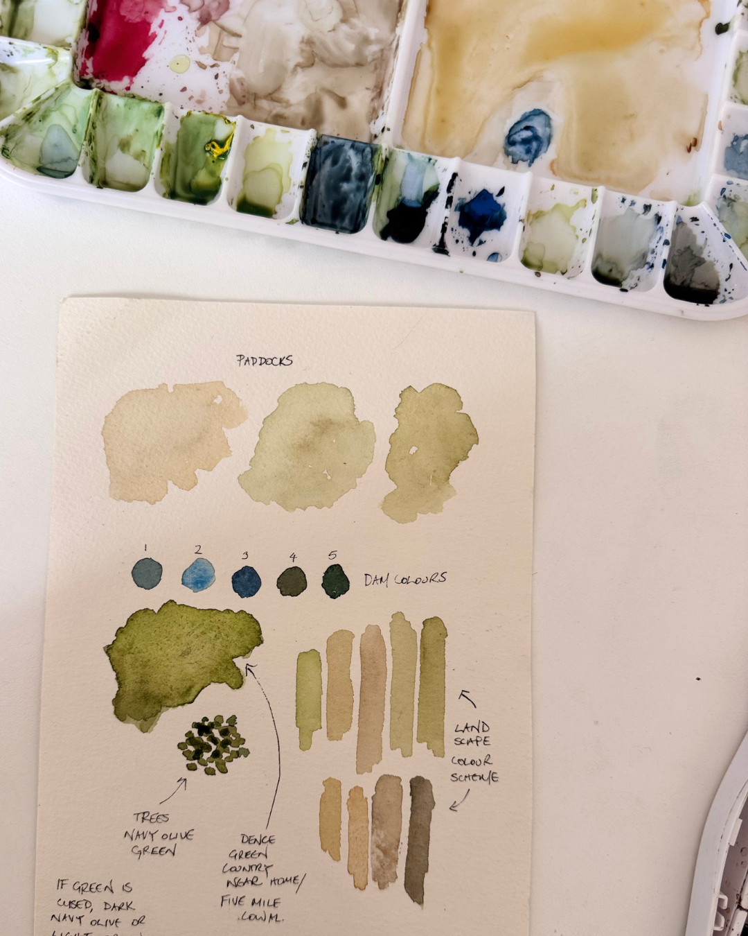
A reference map is simply a base map that displays any of the features you would like represented on your illustrated map — generally the property boundary, internal fence lines, paddock names, internal roads, water sources, infrastructure, the home, etc.
When providing a reference map, it’s also helpful to include a second copy that indicates where any annotations (both illustrated and text) should sit, to assist with building the composition of your painted map.
-
This is a tricky question to answer, as the outcome depends on the property and the reference material you have available.
If you don’t currently have any reference material, I recommend using mapping tools like Google Earth or Six Maps to build out boundaries, internal fence lines, and paddock names. If these technical platforms feel overwhelming (you’re not alone!), you can print satellite imagery and draw in the fence lines, paddock names, special features, and boundaries, then scan and send the files to me. I can digitalise these drawings and we can work together to refine them before sign-off.
If you already have a map that just needs a few alterations or simplifications, this is something we can update together via video call. You’ll need to guide me through the changes, as you know your pocket of land far better than I do.
Please note, any time spent building or digitalising your property map together incurs a $60 per hour consultation fee.
It’s important to remember that the accuracy of my painted property map is only as precise as the reference material you provide.
-
I require a digital copy of your reference map. If you don’t have this file in digital format, please scan a clear copy of the map with any necessary changes clearly marked.
I cannot accept photos of physical maps, as I need to understand the relative scale of the property and each feature.
-
If required, I can offer a site visit depending on the client’s location.
The $60 per hour consultation fee also applies to site visits.
-
If sneaking around to source an accurate reference map isn’t your style, I can offer the option of a small A4 sketch of the property to gift as a ‘voucher’. You can then work with the recipient to prepare the reference map for me to paint.
These sketches typically feature the property boundary with a simple representation of the land’s vegetation or topography, plus a map title — either the property name or, if available, a copy of the property’s brand or logo.
-
I don’t offer the option to paint people, as this isn’t my specialty. My strength lies in cartography and miniature illustrations of houses, infrastructure, and objects. For both my clients’ sake and my own, I prefer to focus on creating pieces where I can deliver my best work.
On request, I can include miniature illustrations of pets (such as dogs and horses) as annotations.
-
Unless you specifically want two original paintings, I suggest having the original professionally photographed or scanned, then producing prints.
I can assist with the digitalisation and printing of copies for a fee. This will be itemised in your quote if you request a digital copy of your map.
Please note that if you require two or more originals of the same property, I cannot guarantee each painting will be exactly the same.